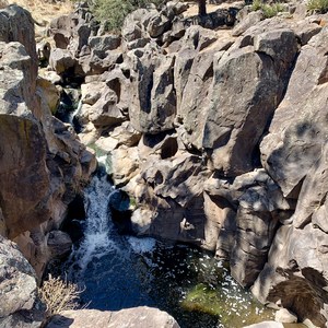
Mount Elden is Flagstaff’s backyard mountain. Unmissable over the city skyline, its boulder-strewn slopes rise directly from neighborhoods in the east part of town. Though not as famous or as tall as the San Francisco Peaks, which claim the state highpoint, Mount Elden’s trails are more popular with locals thank to easy access. The 9,300-foot summit is also reached by a dirt road, which serves the signal towers and a fire lookout tower on top. The road is open to the public in summer, but hiking is of course the more rewarding way to get there.
Elden Lookout Trail is the quickest trail to the summit, at just under 6 miles round trip. What it lacks in distance, though, it more than makes up for in gradient. The trail is steep and rocky the entire way, and if you aren’t accustomed to Flagstaff’s elevation (the base of the trail is nearly 7,000 feet!), it will feel even more strenuous. The trail also faces south and east, without much shade, making it very hot in summer. Nevertheless, on summer weekends the small parking lot usually fills up, partly because it’s shared with the easier and equally popular Fatman’s Loop Trail. To beat the heat and the crowds, it’s best to either start early or come late in the day. What’s more, thunderstorms can pop up on summer afternoons, so early and late are the best times for weather as well. Just be sure to leave enough daylight for the journey up and back down.
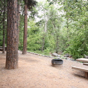
Beginning in ponderosa pine forest typical of Flagstaff, the trail gains elevation quickly, and the vegetation changes. On Elden’s sun-exposed, rocky slopes, piñon and juniper trees are more common, as are desert plants like yucca and cliff rose. The shrubby vegetation allows great views after less than a mile of hiking. You can see over all of East Flagstaff plus the landscape beyond. Look for canyons cutting through the ponderosa forest, volcanic mountains protruding from the green, and the horizon blending into beige of the Painted Desert.
The higher you go on Elden Lookout Trail, the better the views get. You’ll also cross into a subalpine life zone, where tall spruce and fir trees make a shady canopy. Eventually the trail curves up onto a ridgeline, and the towers at the top appear close. It’s here that you’ll notice many burned trees, left by a catastrophic wildfire in 1977. That fire burned especially hot, but the forest is slowly regenerating, evidenced by young aspen trees growing thick on both sides of the trail. A little farther through the aspens and you’ll suddenly emerge at the base of the signal towers and lookout, with an entirely new panorama ahead. From there you can look west and north, over the rest of Mount Elden and over the Dry Lake Hills to the San Francisco Peaks. The trail merges with the service road, and a short distance farther puts you on the other side of the summit, for a view toward Downtown Flagstaff.


Comments
Sign In and share them.