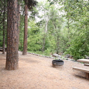
AZT Passage 33: Flagstaff Urban Trail is a 14.9-mile point-to-point section of the roughly 800-mile Arizona National Scenic Trail (AZT). This moderately rated section runs from Fisher Point to Passage 34 Junction and is located within the city of Flagstaff, AZ. This passage is accessible for hikers, trail runners, long-distance backpackers, equestrians and mountain bikers.
Passage 33 is an urban route across the center of the city of Flagstaff. This section begins at the bottom of Walnut Canyon near Fisher Point and uses a combination of dirt paths and asphalt to wind its way across the city and eventually to reconnect to the Arizona National Scenic Trail (AZT) north of Flagstaff. If you’re more interested in maintaining the wilderness experience of the Arizona National Scenic Trail (AZT) then Passage 32 is recommended.
The route follows several drainages, climbs over small ridges, and passes through an underpass at one of the city’s busiest intersections at Ponderosa Parkway (formerly Enterprise Road). The AZT climbs to McMillan Mesa on city streets and the Flagstaff Urban Trails System. This section provides easy access to restaurants, coffee shops, grocery stores, hotels, gear shops and more!
North of the city, the trail traverses through Buffalo Park and enters the Dry Lake Hills Trail System. It continues uphill to the national forest boundary and eventually reaches a junction that connects back to Passage 34.
DIRECTIONS
Follow Arizona National Scenic Trail signs/trail markers.
Fisher Point to Babbitt Drive.
Babbitt Drive to Butler Avenue.
At Butler Avenue turn right.
Continue .15 miles to Ponderosa Parkway (McDonalds).
Turn left on Ponderosa Parkway and go 0.20 miles to Route 66.
Cross Route 66 at the light and continue on Ponderosa Parkway past the Fire Station.
Angle left on the paved Flagstaff Urban Trail System path that parallels Ponderosa Parkway.
Follow the Flagstaff Urban Trail System (and look for AZT signs).
Cross the bridge over Cedar Ave.
From Buffalo Park, follow the path to the Dale Shewalter Memorial.
Continue north through Buffalo Park to the Lower Oldham Trail.
Continue along the side of Mount Elden and join the Rocky Ridge Trail.
Continue towards the Schultz Creek Trailhead.
Follow the Schultz Creek Trail to the junction with the San Francisco Peaks passage.
WATER
Check the Arizona Trail Water Report for current information at: https://aztrail.org/explore/water-sources/.
ADDITIONAL INFORMATION INFORMATION


Comments
Sign In and share them.