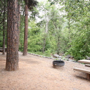
AZT Passage 31: Walnut Canyon is a 18-mile point-to-point section of the roughly 800-mile Arizona National Scenic Trail. This moderately rated section runs from the Marshall Lake Trailhead to Interstate 40 and is located south of Flagstaff, AZ. This passage is accessible for hikers, trail runners, long-distance backpackers, equestrians and mountain bikers.
Passage 31 connects Marshall Lake and Walnut Canyon/Interstate 40. This section follows a singletrack trail across a gently rolling terrain through pine and oak forest before descending steeply into Lower Walnut Canyon. It passes by interesting red rock cliffs and features impressive vistas with stunning views of the San Francisco Peaks. This section also includes an opportunity to take an alternate trail into the town of Flagstaff.
In the bottom of Sandy’s Canyon, before the Arizona National Scenic Trail (AZT) ascends to the Fisher Point area, the trail comes to a junction where the AZT splits. The left fork, a resupply route for thru-hikers, heads north into Flagstaff (see Passage 33). The right fork ascends towards Fisher Point (a popular destination for Flagstaff locals), and then follows the edge of Walnut Canyon. The latter is also the equestrian bypass around Flagstaff.
The resupply route is a popular option amongst thru-hikers and reconnects to the AZT north of Flagstaff.
DIRECTIONS
Follow Arizona National Scenic Trail Signs/Trail Markers.
WATER
Check the Arizona Trail Water Report for current information at: https://aztrail.org/explore/water-sources/.
ADDITIONAL INFORMATION INFORMATION


Comments
Sign In and share them.