Pets allowed
Not Allowed
Elevation Gain
1,900.00 ft (579.12 m)
Trail type
There-and-back
Distance
7.50 mi (12.07 km)
Please respect the outdoors by practicing Leave No Trace. Learn more about how to apply the principles of Leave No Trace on your next outdoor adventure here.

On the eastern edge of Yellowstone National Park is the Thunderer, a peak in the Absaroka Range that looms over Lamar Valley. There is no official trail to the top of the Thunderer; this hike takes you to Chaw Pass below the peak. Venture past Chaw Pass for a sweeping view of the large Cache Creek Valley, which burned in the great 1988 Yellowstone fire.

The Thunderer lies on the outskirts of Lamar Valley, famously known for its plentiful wildlife inhabitants. It is unsurprising that some of these animals spend their time near the trail — be aware of wildlife and always give them the right of way. As with anywhere in Yellowstone, be bear aware.

From the trailhead, the trail quickly shoots downward toward Soda Butte Creek. In the early summer, the ford across Soda Butte Creek is difficult due to high water, but it is reasonable by August and September. Leave level ground and start your climb up to Chaw Pass. Lookout for a lone tree near the trail, opposite a large scree slope. This tree is actually a scratching post for grizzly bears. See old and fresh claw marks, as well as their silver hairs caught in the sap.

The trail gains elevation in a series of gradual switchbacks under thick forest cover. This deep cover locks moisture in, so be prepared for frequently muddy trails and wet brush along the way. Encounter a few small stream crossings on your trip up as well.

At Chaw Pass, a fair amount of trees obstruct any wide view. No matter – continue on the trail several more minutes and see the view over Cache Creek valley open up before you. Find on the horizon: Amphitheater Mountain, Cache Mountain, the Needle, the Eye of the Needle, and of course, the Thunderer.

Check the weather report beforehand. The Thunderer has rightfully earned its name.

Logistics + Planning

Current Weather: Powered by Dark Sky

Possible light rain in the afternoon and evening.
Tue
59°F
39°
Possible light snow until morning, starting again in the evening.
Wed
54°F
36°
Possible light rain throughout the day.
Thu
51°F
33°
Possible flurries in the morning.
Fri
57°F
34°
Possible light rain in the evening and overnight.
Sat
58°F
36°
Partly cloudy throughout the day.
Sun
60°F
37°
Mostly cloudy throughout the day.
Mon
67°F
41°

Preferable season(s)

Summer
Fall

Congestion

Low

Parking Pass

National Park Pass

Pros

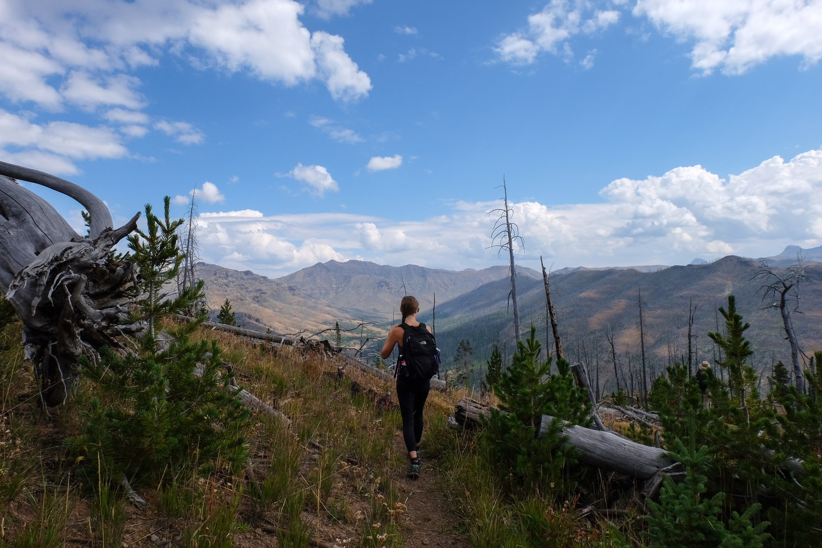
Thick forest. Solitude. Excellent Absaroka views.

Cons

Frequent storms.

Trailhead Elevation

6,912.00 ft (2,106.78 m)

Features

Backcountry camping
Mountaineering
Big Game Watching
Wildlife
Big vistas
Geologically significant
Big Game Watching

Suitable for

Horseback

Location

Comments

Have updates, photos, alerts, or just want to leave a comment?
Sign In and share them.