
You are here
Groomed trail
Yes
Elevation Gain
335.00 ft (102.11 m)
Distance
7.60 mi (12.23 km)
Warming hut
Yes
Please respect the outdoors by practicing Leave No Trace. Learn more about how to apply the principles of Leave No Trace on your next outdoor adventure here.
Logistics + Planning
Current Weather: Powered by Dark Sky

Sat
80°F
65°

Sun
88°F
71°

Mon
85°F
72°

Tue
79°F
67°

Wed
79°F
61°
Thu
81°F
58°
Fri
84°F
60°
Preferable season(s)
Winter
Spring
Summer
Fall
Congestion
Moderate
Parking Pass
Not Required
Pros
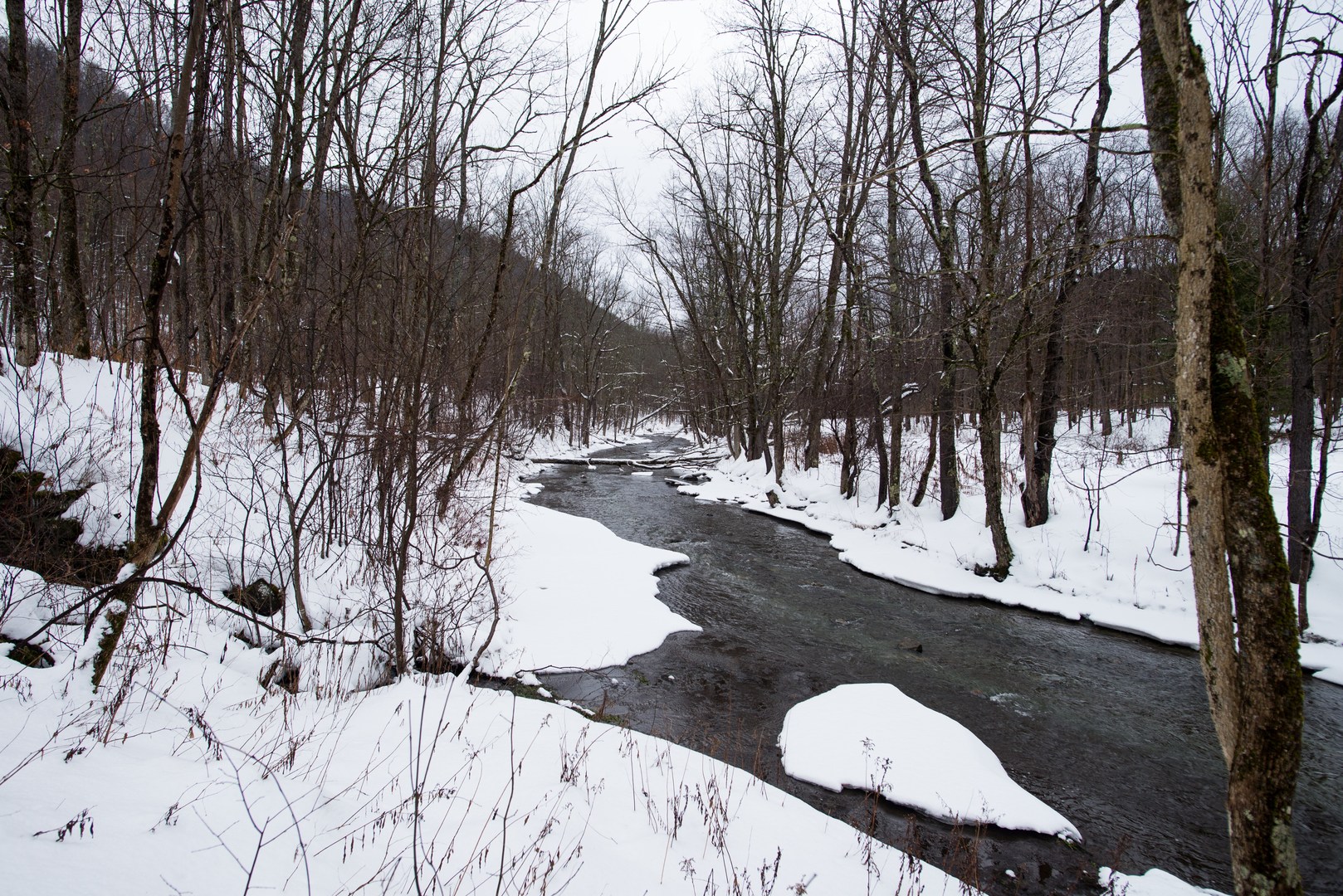
Groomed trail. Close to other networks. Great views.
Cons
Close to the road. Frequent road crossings.
Pets allowed
Allowed
Trailhead Elevation
1,125.00 ft (342.90 m)
Features
Snowshoeing
Waterfalls
Warming hut
Trail type
Shuttle
Location


Nearby Adventures


You May Also Enjoy


Comments
Sign In and share them.