
You are here
Hike-in Required
No
ADA accessible
No
Guided tours
No
Please respect the outdoors by practicing Leave No Trace. Learn more about how to apply the principles of Leave No Trace on your next outdoor adventure here.
Logistics + Planning
Current Weather: Powered by Dark Sky

Wed
61°F
51°
Thu
61°F
51°

Fri
66°F
51°
Sat
72°F
53°
Sun
70°F
51°
Mon
66°F
51°
Tue
62°F
51°
Preferable season(s)
Winter
Fall
Congestion
High
Parking Pass
State Park Fee
Pros
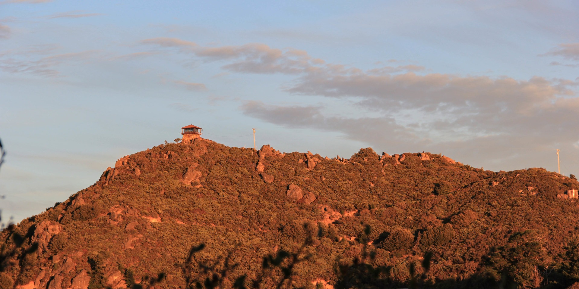
Home to some of the best views in the bay area. Short hike.
Cons
Crowded on clear weekend days.
Pets allowed
Not Allowed
Features
Big vistas
Location


You May Also Enjoy


Comments
Sign In and share them.