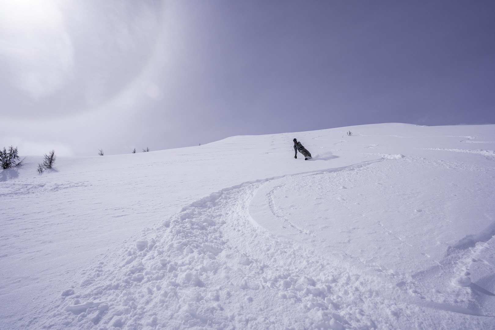
Sky Pilot is an incredible Bitterroot adventure tour with big descents and lots of vert!
The Basics
-
Seasonality/Snow: Depending on the snowpack, the Sky Pilot can be skied from December through April (or May if you're willing to hike).
-
Snow Stability: This is a big line with a lot of avalanche terrain exposure, so make sure you've got a stable avalanche forecast and solid terrain/snow assessment skills before considering it. This line can also be tricky to manage snow transitions - you'll be out for a long day and you'll want a day without too much heat, otherwise slopes will start getting heated and releasing.
Equipment
Depending on when you’re going and what the snow is like, you’ll need some equipment to keep having fun. There are the obvious things, including your backcountry ski/splitboarding setup, personal safety gear (helmets, goggles, medkit, etc.), and appropriate layers to keep yourself warm and dry. And then there's the technical gear and the overnight gear:
-
Avalanche safety gear: beacon, shovel, probe, and the know-how to use it!
-
Traction: The Bitterroot can have any type of snow, seemingly at any time, and the Gash skin track often benefits from ski crampons. Your call on what you bring, but it's not a bad idea to consider:
-
Ski crampons: it will likely be icy out there in the spring, and ski crampons will make things a lot easier.
-
Boot crampons: consider these for the boot up Sky Pilot, which can get a bit wind-stripped and icy.
-
Lightweight ice axe and/or BD Whippet: could be helpful on Sky Pilot proper.
-
Radios: Radios are becoming more and more common in the backcountry skiing world, as they dramatically improve communication and safety, especially on more complex tours like this one, especially as the approach/lower descent is heavily treed.
-
GPS/Navigation: A GPS and a pre-loaded track for this tour will help you get to the lines you want, and to navigate the complexity of Commonwealth Basin.
A disclaimer on this description and included GPX track - this line was skied on a single trip with certain snow and avalanche conditions. The track described is a reasonable way to move through this terrain, and the description below mentions some of the hazards found during the trip. However, conditions may be significantly different when you visit this area. The advice in this trip report is not meant to be followed perfectly - you will need to adapt the route for the conditions you find and for your party’s abilities.
The Trip
Sky Pilot is a lot of climbing, so get an early start and pace yourself! Begin by parking as close as you can to the Gash trailhead. Often this means parking a mile back - don't push your car too far and get stuck!
Head up the Gash approach trail, climbing 1,000' up to the upper Gash trailhead, then wandering into the old burn zone. Climb up the low-angle ramp to just shy of the Gash Point. At ~8,800', find a way to sneak through the trees and get on the SW slopes.
Your goal is to stay high as possible as you traverse toward Bear Lake. If you play your cards right, you should be able to stay above 6,800' (or even above 7,200' if you're aggressive about it). From above Bear Lake, climb to the small lake at 7,400', then climb toward the steep north slopes. You'll likely think about transitioning to booting at 8,100', then head to the summit!
From the top, enjoy the big views before ripping the upper slopes and skiing whatever looks good! As you enter the upper basin, try to stay high and skier's left. The higher you can stay, the easier your climb out. But if the skiing's good, enjoy your turns!
Once you're ready to head out, begin the long climb back up to Gash Point. From there, hit the Gash bowls, then enjoy the 4,000' descent all the way back to the car! The trees can get a bit scrappy below 6,200', so good luck!
Please post an observation to the West Central Montana Avalanche Center after your trip, describing the travel conditions and snow stability you found! Submitting avy observations and writing trip reports on forums are great ways to contribute to the community and improve avalanche forecasts. It's also incredibly valuable to read the observations and trip reports written by others, as they'll help keep you updated on what the mountains are doing on a day-to-day basis. This will help determine whether you have a fun time next time you get out!


Comments
Sign In and share them.