
You are here
Sponsored by:
Pets allowed
Allowed
Elevation Gain
457.00 ft (139.29 m)
Trail type
There-and-back
Distance
9.60 mi (15.45 km)
Please respect the outdoors by practicing Leave No Trace. Learn more about how to apply the principles of Leave No Trace on your next outdoor adventure here.
Logistics + Planning
Current Weather: Powered by Dark Sky

Tue
69°F
45°

Wed
55°F
37°

Thu
60°F
35°
Fri
70°F
37°

Sat
73°F
40°
Sun
74°F
40°

Mon
78°F
45°
Preferable season(s)
Spring
Summer
Fall
Congestion
Low
Parking Pass
Not Required
Pros
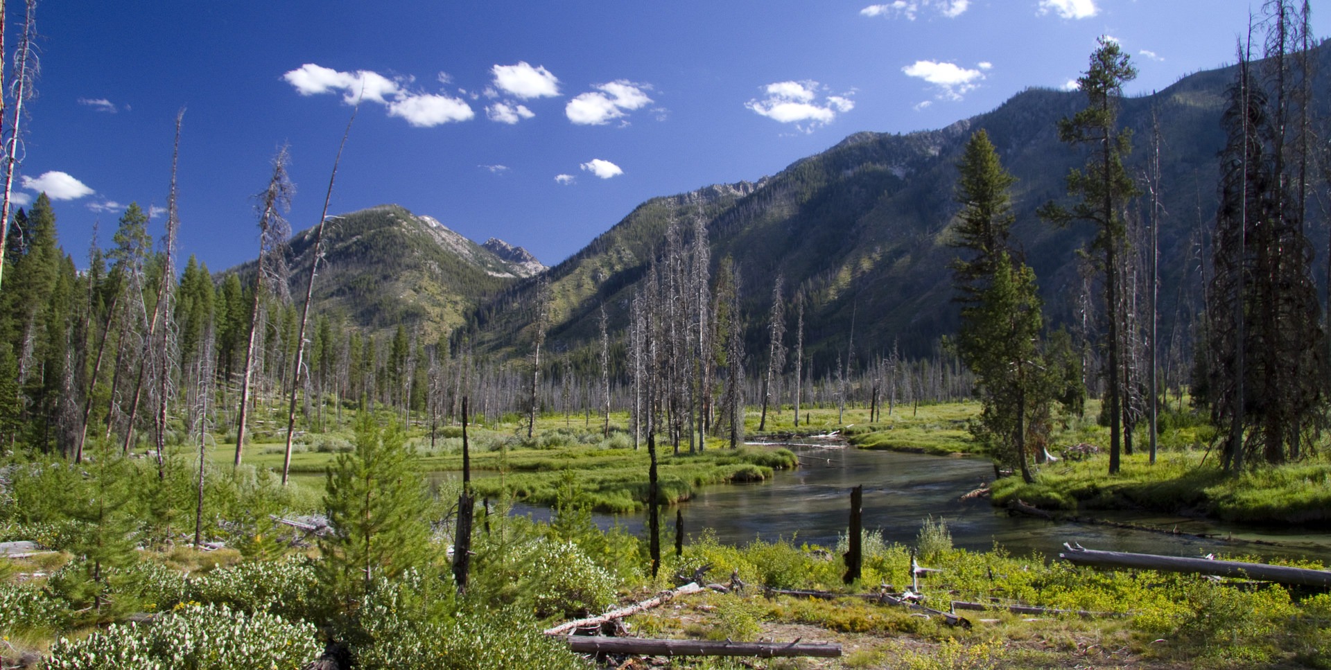
River access. Swimming. Riverbank lounging. Not much traffic.
Cons
No trailside destinations. Creek crossings.
Trailhead Elevation
5,180.00 ft (1,578.86 m)
Features
Backcountry camping
Big Game Watching
Wildlife
Big vistas
Fishing
Big Game Watching
Suitable for
Horseback
Location


Brought to you by:
Our mission is to inspire adventure with beautiful, comprehensive and waterproof map-based guidebooks. Owner, publisher, and photographer Matt Leidecker, grew up exploring and guiding on the rivers in central Idaho. His award winning Middle Fork of the Salmon River – A Comprehensive Guide is the standard by which other river guidebooks are measured. Printed on virtually indestructible YUPO paper, IRP guides are truly unique all-in-one resources for adventure. Each book is loaded with full-color maps, stunning photographs, and information on the history, geology, and wildflowers. Visit Idaho River Publications to explore our guidebooks to the Rogue River in Oregon and the mountains of Central Idaho.
More content from Idaho River Publications


Comments
Sign In and share them.